Robots at sea track warming of world’s oceans


Jarred with Argo
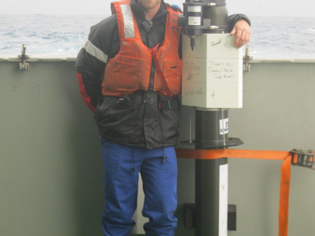
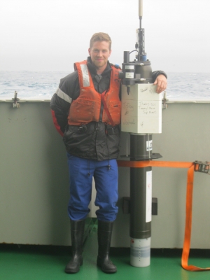
Today some 3 900 Argo (that’s short for Array for Real-time Geostrophic Oceanography) floats operate across the seas, deployed by over 30 countries in the global Argo project. After being deployed, the 2m-long devices adjust their depth by changing their buoyancy. Most are programmed to drift at a depth of 1 000m. After nine days at this ‘parking depth’ they descend to 2 000m, then rise over six hours to the surface, sampling salinity and temperatures as they ascend. Typically a float will repeat this 10-day cycle over 200 times in a course of five years. All data are reported in real-time to Argo Global Data Assembly Centres in the US and France and made freely available.
The information shows how the ocean is changing, both naturally and as a result of human activities. It’s essential to improving climate change models as the ocean plays a crucial role in determining the planet’s climate. For example, more than 90% of the climate system’s heat energy accumulation between 1971 and now has been in the world’s seas.But observing the oceans is difficult, even in favourable conditions and certainly very expensive. Sampling from ships, the major means of gathering data for many years, left vast tracts unobserved for long periods, especially the inhospitable Southern Ocean and the polar regions.
But with the advent of the ocean-profiling floats scientists have been able to sample salinity and temperatures in the upper 2 000m of the ocean, both globally and uniformly in space and time – essentially filling in the gaps that ocean research vessels are unable to do. The quality, high-sampling density and frequency of these observations have led to important new insights into the ocean’s general circulation patterns and their effects. And the data is available within 24 hours of collection, via satellite, for a broad range of research on climate-relevant variability.
The Argo array also complements other elements of the global ocean observing system, particularly satellite altimetry. Together these provide a time series of the dynamical state of ocean circulation and high-resolution, three-dimensional temperature fields. Subsurface temperature observations from Argo have lead to improved forecasts of intra-seasonal waves in the atmosphere, monsoon activity, and ocean-atmosphere interactions such as El Niño Southern Oscillation. Detailed comparison of Argo profiles between 2004 and 2008 with data collected by ships have shown global changes in both temperature and salinity in the upper kilometre of the world’s ocean in recent decades. The comparison suggests that in the past few decades most of the world’s oceans have become warmer near the surface - by over 1°C. On the other hand areas stretching from the eastern Pacific from Chile to Alaska, have cooled by as much as 1°C. The data show that globally the upper ocean has warmed by nearly 0.2°C since the mid-20th century.
Information from the Argo array, coupled with other hydrographic observations, shows that over the past 40 years the oceans have become warmer. As ocean circulation plays such a big role in the planet’s heat regulation, scientists have a reason to be concerned. Data suggests most of the heat content in the past 10 years has been in the Southern Ocean. “Without Argo it’s unlikely this conclusion would have been reached,” said Preofessor Ansorge.
The Argo array also offers new insights into the interplay of the local ocean and the regional climate in East Asia. And data from Argo deployments now underway in the Gulf of Mexico will likely be useful in improving future hurricane predictions. The future is where Argo scientists are looking. And what of the future? Argo scientists are devising ways to cover those tracts of open ocean seasonally covered in ice. Floats trapped under sea ice can’t transmit data and risk being crushed. As a result, algorithms have been developed to help floats survive in ice zones. If a float determines ice through its on-board stratification analysis, it avoids the surface, stores its profile, and descends for another cycle. There are also plans to go much deeper with Deep Argo instruments, which will profile the seas to depths extending down to 6000 m. These floats would need more accurate temperature salinity and pressure sensors as the variability in the abyssal ocean is likely to be considerably smaller than in the upper 2 000m. In addition, the ocean chemistry such as carbon dioxide and oxygen concentrations, chlorophyll productivity are now being measured by a new design of Bio-optic Argo floats. It’s hoped that by 2020 systematic sampling of the abyssal ocean will be implemented with as much as 30% of the floats comprised of deep floats.
Argo observations array have also spawned a flotilla of scientific papers in refereed science literature: more than 2 100 in the past 15 years. While Argo array is a major accomplishment, it doesn’t stand alone but is one of five programmes brought together in the Joint Commission on Oceanography and Marine Meteorology Operations office. With these operating under one umbrella, the supply of data from the oceans is undergoing a profound transformation.
