Mzabalazo Z. Ngwenya
29 August 2019
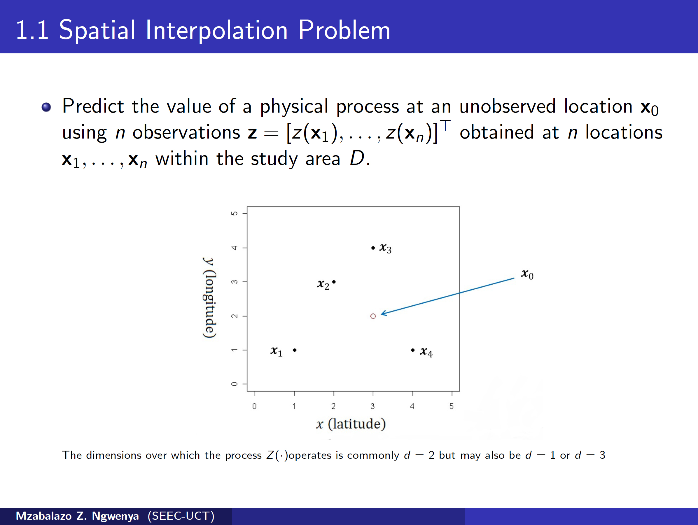
Spatial interpolation is the process of using samples of a physical process (e.g. temperature, rainfall, mineral concentrations) obtained at a few locations in an area to make predictions at unsampled locales. One can further use spatial interpolation to generate maps describing a physical process over an area interest.
Spatial interpolation methods can be categorised as either being deterministic or stochastic. Deterministic interpolators provide methods for checking the overall quality of an interpolation model but no way of quantifying the prediction error at individual points which can be of great importance. Stochastic interpolation on the other hands provides such a measure. In the talk we discuss deterministic as well stochastic interpolation methods highlighting the main features and ideas behind each method. For the stochastic interpolation method discussed we present the various methods of estimating the prediction error at a point and give suggestions on the best way to estimate this error.
Watch Zaza's seminar and view his slides here.

