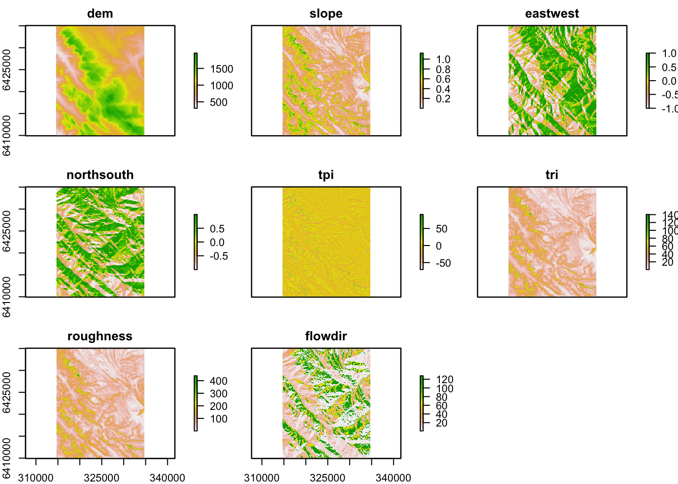
Jasper Slingsby provided a neat overview of handling spatial data in R. This includes a bunch of useful tips and tricks:
- Installing and setting up R
- Projections of spatial data
- Working with point, polygon and raster data
- Visualising and writing spatial data
- Big data in R
Here are the links to Jasper's blogs on these topics:
1) Getting started: http://www.ecologi.
2) A practical example: http://www.ecologi.
3) Big data and memory management: http://www.

