Using history to understand how natural rangelands in the Eastern Cape have changed
We have a lot to be thankful for when we consider the pioneering work of South Africa’s 20th century botanists and agriculturalists. Not only have their detailed botanical studies formed the foundation of the comprehensive species inventories and vegetation maps of which so much of our research relies heavily upon today, but so do their historical photographs and vegetation datasets continue to provide insightful snapshots of past vegetation condition. These historical records create opportunities for researchers to return to the same sites to re-survey vegetation and take repeat photographs to assess the extent, rate and nature of change over time.
Dr Piet Roux, both an agriculturalist and avid botanist, spent the better part of his career traversing the Stormberg Plateau region in the Eastern Cape between the 1940s and 1970s. He spent years conducting vegetation surveys to track the distribution of a grass species, Tetrachne dregei; work which he eventually published in a PhD thesis in Botany. Oom Piet (a term of endearment used by many) was also very interested in understanding the physiological intricacies of this grass, which is an indicator of veld degradation, under various climatic and grazing scenarios. Of particular interest from these data are the measures of species composition and cover on approximately 70 different farms spaced across a rainfall gradient where the Nama-Karoo and the Grasslands biomes meet.
Oom Piet’s survey data and historical landscape photographs were collated and archived at the Grootfontein Agricultural Development Institute (GADI) in Middelburg in the Eastern Cape, and at the Plant Conservation Unit (PCU) in Cape Town, respectively. Eight of these sites were revisited and re-surveyed by Prof Timm Hoffman in 1989 and then again by past PCU student, Dr Mmoto Masubelele in 2009. Yet, a large proportion of these sites are yet to be re-surveyed. Today, current PhD student, Gina Arena, will be revisiting as many as 68 sites to follow in the footsteps of Oom Piet and attempt to assess how these environments have changed over a 60-year period.

Gina Arena spent an afternoon meeting with Dr Piet Roux in his home in Middelburg, Eastern Cape (PC: Timm Hoffman).
Last week (19-23 June 2017), Gina visited Middelburg with her supervisors Prof Timm Hoffman, Prof Tim O’Connor (SAEON) and Dr Helga van der Merwe (SAEON), to scout out a few of the sites she will be re-surveying for her PhD. The four held discussions around Gina’s main research questions on assessing long-term changes in rangeland vegetation in the Eastern Upper Karoo which has been influenced by past and current climate and land use patterns. A visit with Oom Piet himself inspired Gina as he delivered meticulous accounts of his research in the Karoo veld.
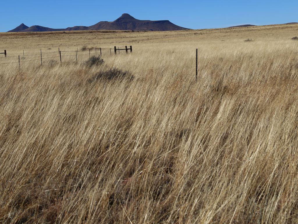
The reconnaissance involved visiting the Afrikaner Camp and Boesmanskop Camp at GADI where a number of historical photographs were taken by Oom Piet in the 1960s. Timm Hoffman guided Gina through the process of taking a repeat photograph, in preparation for her own fieldwork, by taking repeats at the Boesmanskop site. Gina also worked through her first vegetation re-survey at Boesmanskop where Oom Piet used a wheel point to survey the vegetation 60 years ago.


Left: Compiling a general species list of plants at the original site surveyed by Dr Roux in 1960 at Boesmanskop, Grootfontein. Right: Working through the descending point method transect at Boesmanskop where Dr Roux surveyed vegetation in 1960. Gina was assisted by Dr Helga van der Merwe (far left), Lisa Hebbelmann (second, left) and Justin du Toit (far right) (PC: Timm Hoffman).
Already, differences in the vegetation could be seen between 1960 and 2017, such as a change in grass species composition and species abundance, and the instalment of a grazing exclosure experiment. Data collected from the re-surveys will, however, provide the quantitative analysis of any shifts in composition and/or increases in grass cover between these time steps across a greater rainfall gradient.


Left: A photograph taken by Dr Roux in 1960 at Boesmanskop on the Grootfontein farm in Middelburg. Right: The repeat photo taken by Timm Hoffman in 2017. In the historical photo, grass cover was dominated by the grasses Digitaria argyrograpta in the foreground, Themeda triandra in the middle and Eragrostis bicolour in the background, with Tetrachne dregei sparsely scattered in this cover, and with Pteronia tricephala (dark shrubs) and Pentzia globosa (grey shrubs). In the repeat photo, grass cover is denser and taller, with a shift in dominance of the grass species Digitaria eriantha and Sporobolus fimbriatus, and shrub Lycium cinereum.
Gina’s research will also take on a social component through her interactions and interviews with farmers and landowners who are likely to possess valuable knowledge and/or records on historical land use practices, climate and fire history on the farms to be surveyed. Without input from landowners, any changes in vegetation over this period may not be understood in the full land use context. Gina will also take this opportunity to provide feedback to landowners from her research at their farms to broaden the impact of her findings.
~ Article written by Gina Arena