Establishment of Long Term Monitoring Programme for Tswalu Kalahari Reserve

~ Article by Sam Jack and Wataru Tokura (May 2016)
Tswalu Kalahari Reserve is situated north-east of Upington and west of Kuruman in the Northern Cape Province. Bought in 1998 and established by the well-known Oppenheimer family in 2014 as a Nature Reserve, it has the distinction of being the largest privately owned game reserve in South Africa at over 110 000 ha. This already considerable size has recently been further supplemented by the addition of four adjoining farms to the south. The vegetation within the reserve is broadly classified as arid savanna, which can be further subdivided into five distinct vegetation types. The drier western portion of the reserve is typified by semi-stable dunes and sparse duneveld while the more mesic eastern region is more mountainous, forming the northern limit of the Korranaberg, and being home to a denser vegetation component. The 25 000 ha north-eastern section is fenced off from the rest of the reserve to form a “predator camp” – essentially a large area in which lions roam. The remainder of the reserve is currently lion free.

Tswalu has an active and ongoing scientific research programme, which Plant Conservation Unit (PCU) and Conservation Biology Masters student Wataru Tokura contributed to last year in a study on vegetation classification using NDVI and identification of degraded areas in the reserve. (The thesis was recently awarded a distinction!) Efforts to monitor the vegetation, both in terms of establishing a historical baseline and monitoring change have, however, been slow to get off the ground. This is a concern for several reasons, not least of which are because veld condition is so closely tied to animal condition, because the apex predator is absent from the largest portion of the reserve, and because vegetation structure has been shown to be changing in other parts of the country with implications for stocking rates and the appropriate ratio of grazers to browsers.
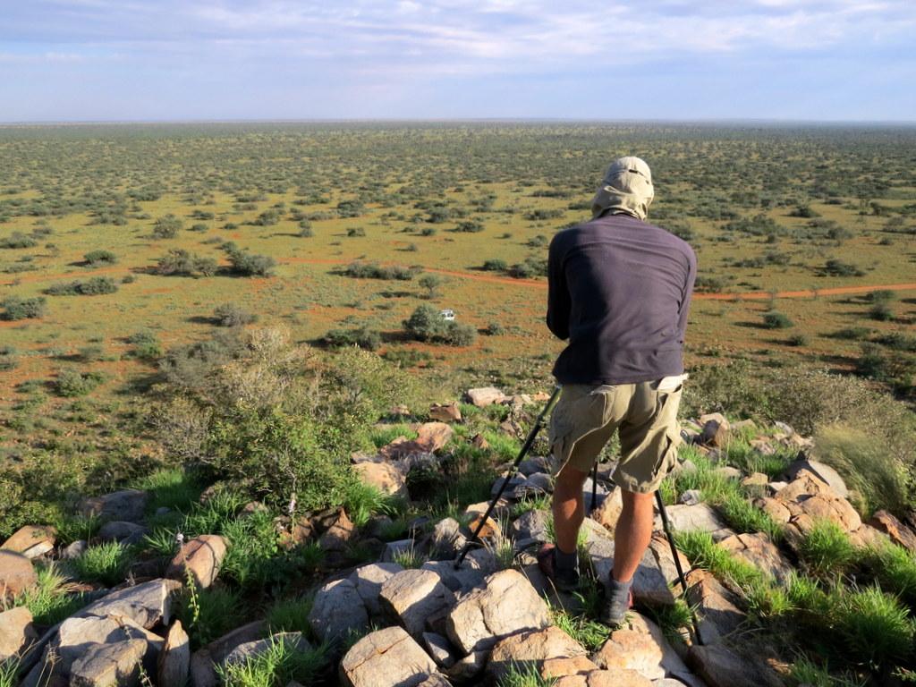
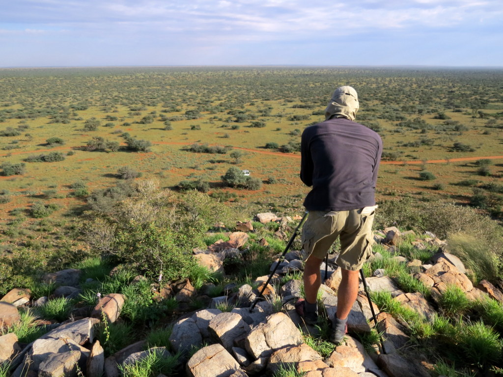
Thankfully this situation has changed with the recent establishment of the first phase of a long term vegetation monitoring programme. Led by Mrs Tania Anderson, the monitoring programme aims to document vegetation cover, structure, diversity and dominance through a fixed point photographic record and via transect based sampling. Each year will see Tania survey one of the five vegetation types, meaning that data for each vegetation type will be collected on a 5-year cycle.

Early May saw PCU members Sam Jack and Wataru Tokura join Tania in Tswalu to help her establish the sampling protocol. During the course of a week they managed to sample 10 sites within the Olifantshoek Plains Thornveld vegetation type – arguably the most difficult veg type to work in as it is often dominated by the thorny Senegalia mellifera. More importantly, it is also the veg type experiencing the most change due to bush encroachment.

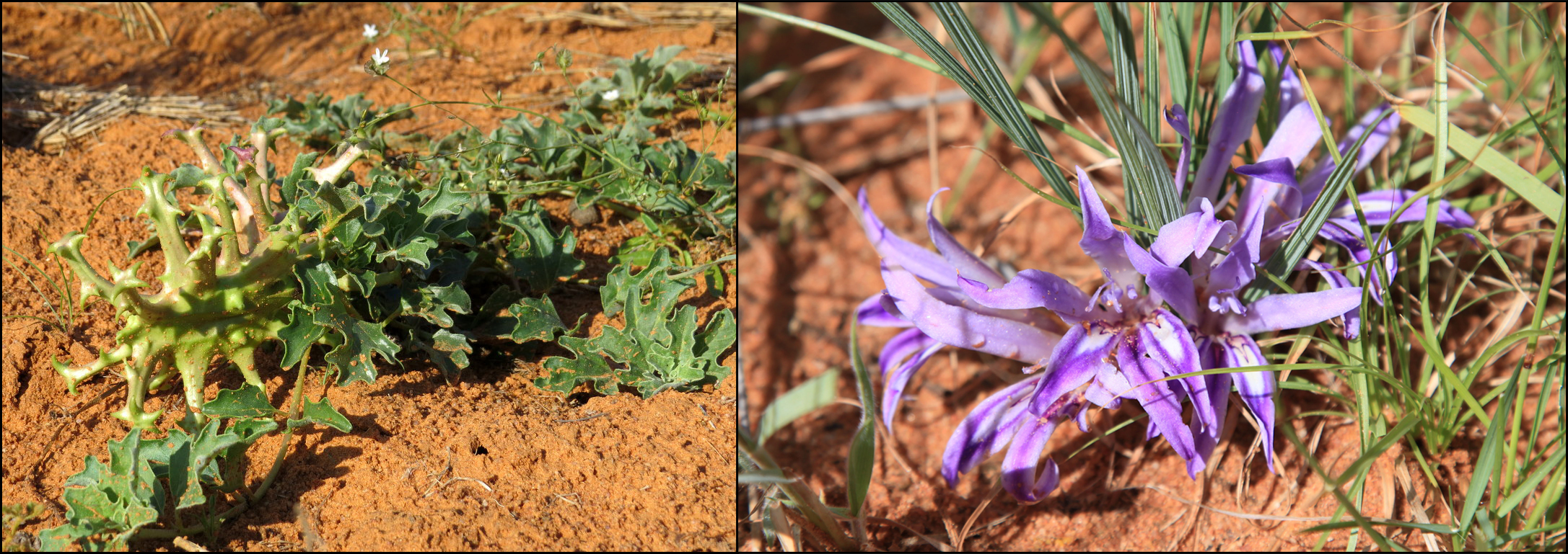
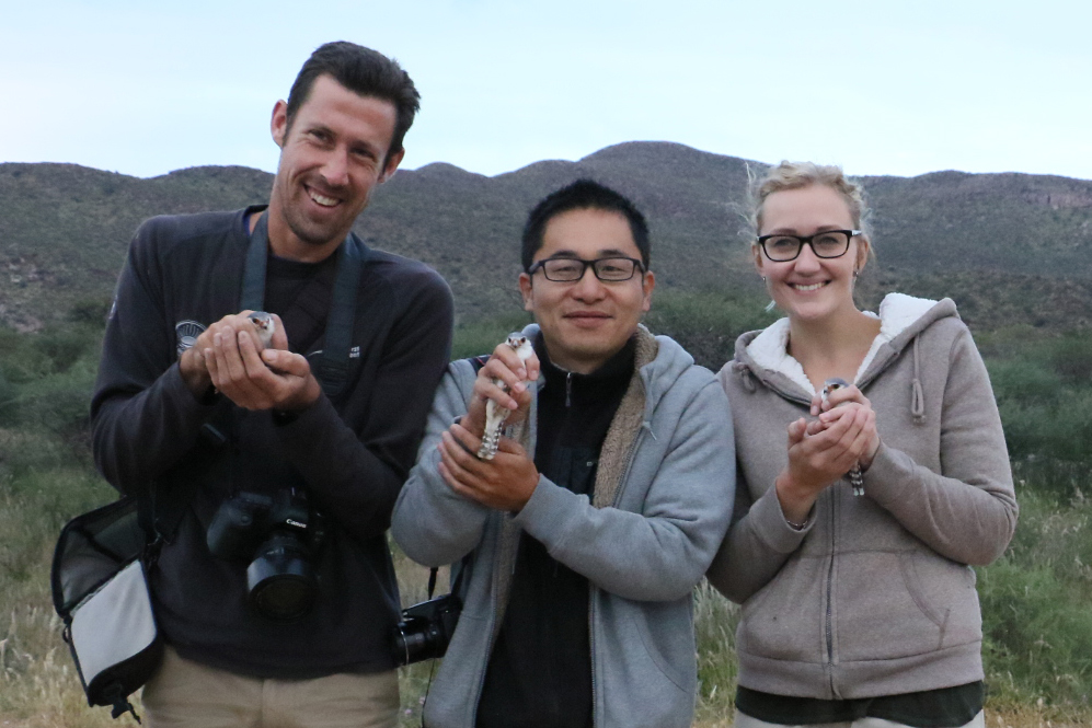
The week of fieldwork was a great success with Sam and Wataru learning a great deal from Tania about the vegetation (Tania is an excellent botanist and has produced a field guide to the common species in the reserve), while Tania was able to pick up some tips on how to set up the photo-stations and lay out the transects. All in all a mutually beneficial and very enjoyable experience!

